
BayPilot – Sailing Route Planning & Marine Navigation
An online boat and voyage route planner with anchorages, marinas and buoys in one place.

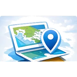
Route Planning & Marine Navigation
Plot your course, check distance and sailing time, then switch to Navigation mode – BayPilot shows live position, COG, SOG and marine marks. Save routes to the archive and reopen them with one click. Learn more about BayPilot modes

Weather for Sailors and Marine Conditions
Check the hourly forecast and 1 / 7 / 14-day outlook for any point on the map. BayPilot shows wind, gusts, precipitation, air temperature and marine data: water temperature, sea level, wave height, wave direction and wave period.
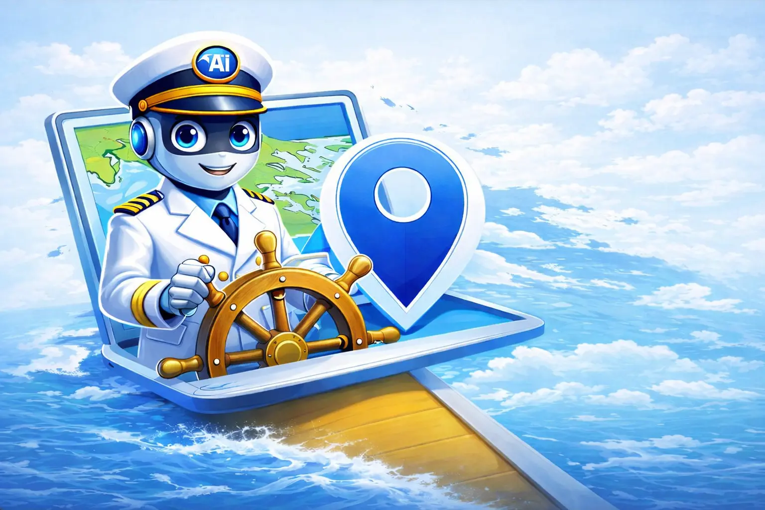
AI sailing assistant
Captain AI is a sailing assistant and knowledge base. It explains weather, helps with route planning, and provides practical tips.
Join and Get More!
Marine Maps, Bathymetry and POI
Use base, satellite and nautical map views with marine marks and bathymetry. BayPilot also shows marinas, buoys, anchorages and more than 20 POI categories on land: restaurants, shops, pharmacies, laundries, museums and more.
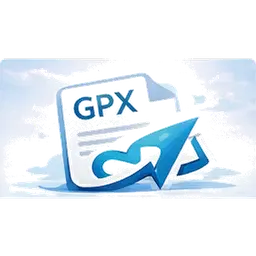
GPX route export
Export a completed route to GPX and use it in compatible navigation apps. The file is generated directly from route or planner panel.

Route archive
Each saved route goes to your personal account archive. You can reopen it later, review it, and export again.
Why Choose Us?

Easy to Use
Simple and intuitive interface.

Safety
Safe and trusted tools.

Community
Join a community of sailors.
FAQ – common questions
Is BayPilot an app for planning sailing routes?
Yes. BayPilot lets you plan sailing routes, check distance, voyage time, weather, map layers, marine marks, isobaths and bathymetry.
Does BayPilot work on Android?
Yes. BayPilot is available as a web app in the browser and as an Android app. It can also be used offline after preparing the required data.
Does BayPilot show marine marks?
Yes. BayPilot includes a navigation layer with marine marks and aids useful during voyage planning. Marine marks are available globally.
Does BayPilot show isobaths and bathymetry?
Yes. The app shows isobaths and bathymetry to help analyse depths and shallow areas while planning a route. Bathymetry currently covers mainly European waters and selected areas.
Does BayPilot replace professional marine navigation?
No. BayPilot is a voyage planner and supporting tool. It does not replace official nautical charts, certified navigation devices or the skipper's decisions.